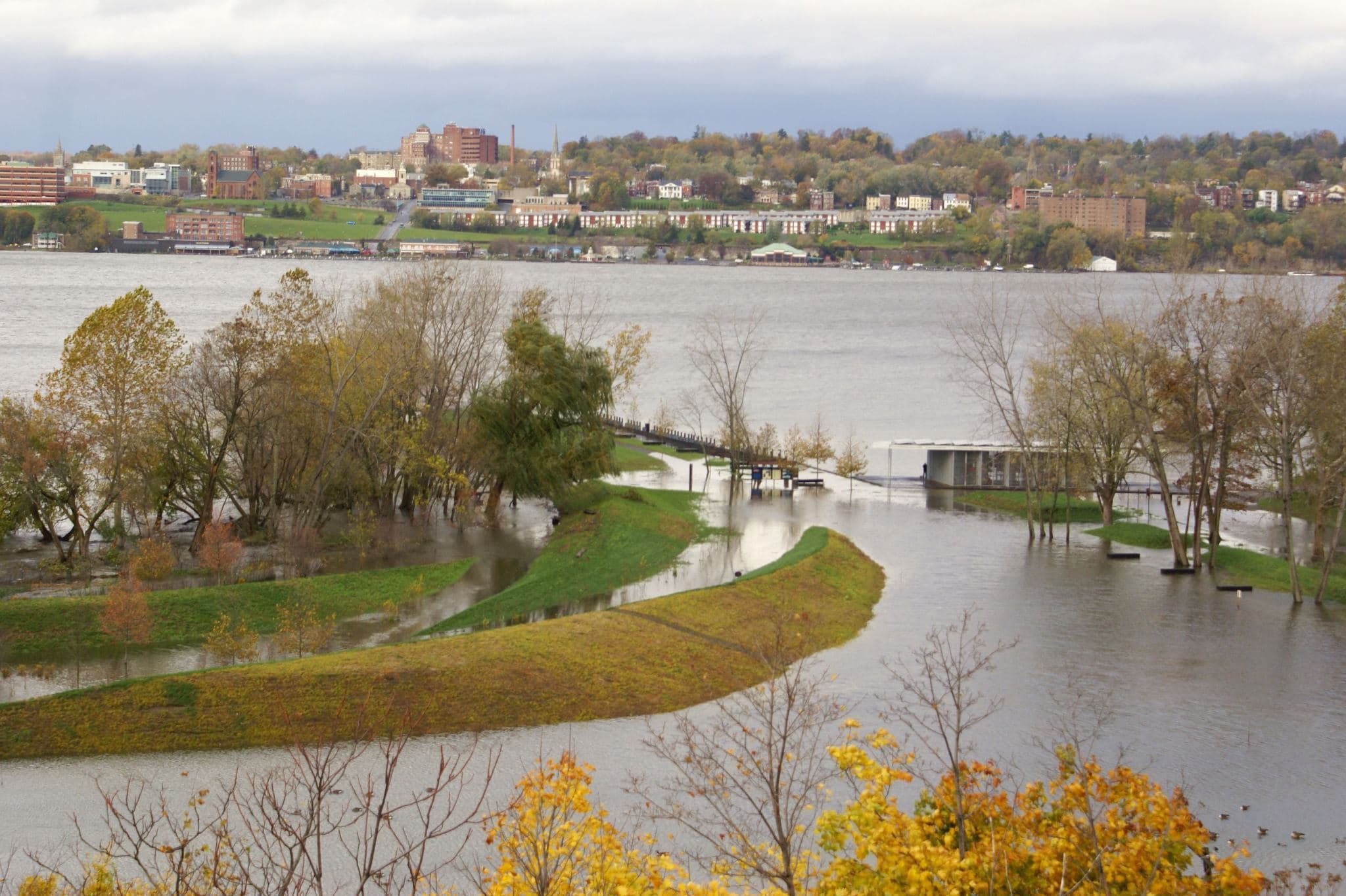
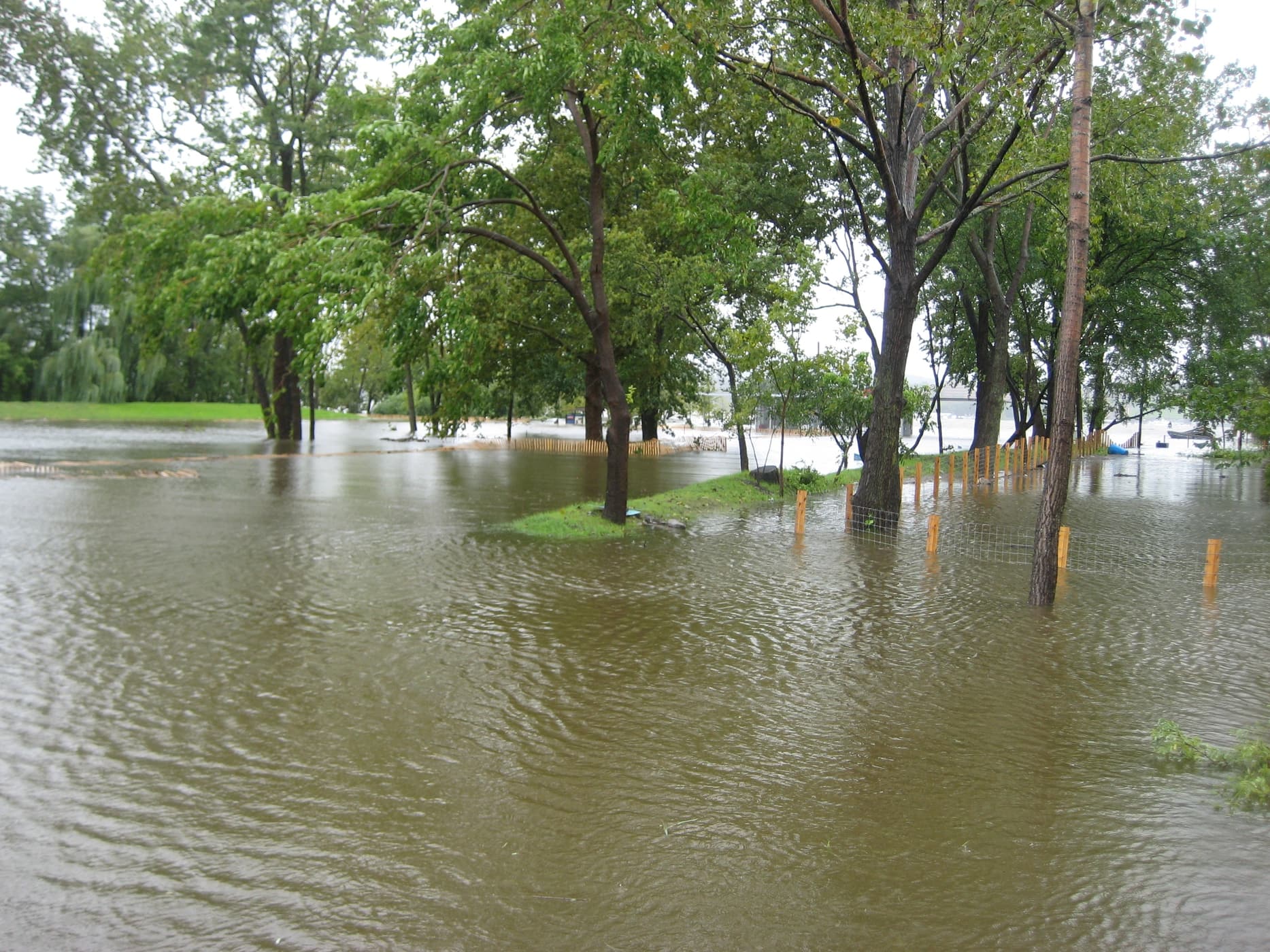
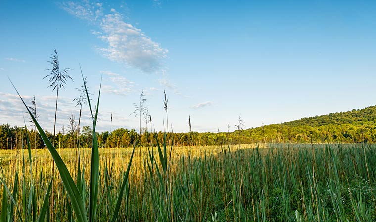
Ramshorn Marsh (Catskill, Greene County)
The 132 acres of forest and tidal marsh we added to our RamsHorn-Livingston Sanctuary further protect some of the estuary’s most unique and unspoiled habitats. 2017
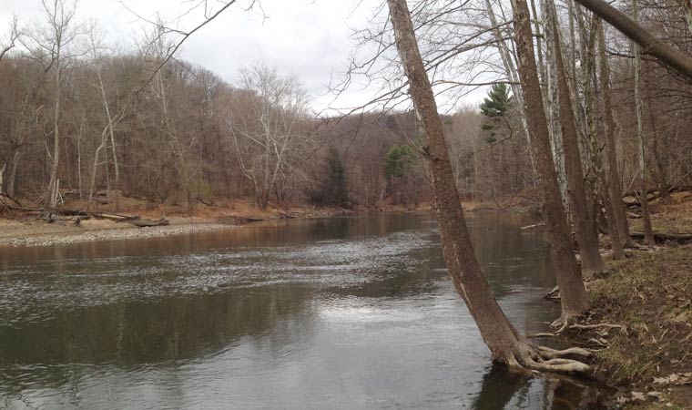
Catskill Creek (Catskill, Greene County)
This land along Catskill Creek served as a favorite subject of painter Thomas Cole. We partnered with the Greene Land Trust to protect the 144-acre property and create Mawignack Preserve. 2016
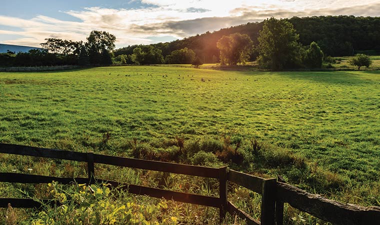
Binnen Kill Wetlands (Bethlehem, Albany County)
The generous donation of a conservation easement on eight ecologically important acres along this Hudson River tributary allowed us to link two parcels we previously protected spanning 260 acres.
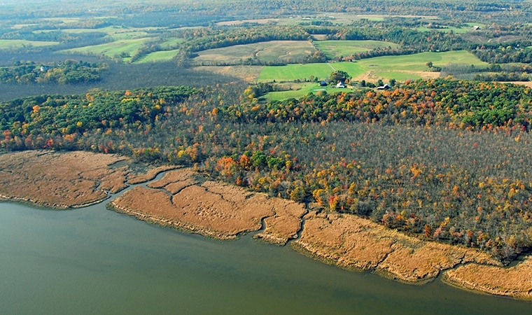
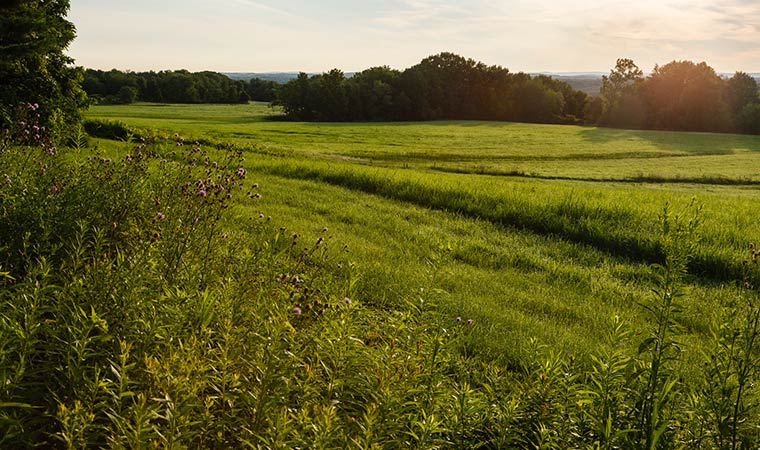
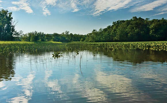
South Bay Creek Watershed (Greenport, Columbia County)
Further safeguarding views from Olana, as well as the town’s drinking water supply, we protected 105 ecologically important acres along the Hudson River tributary. 2015
Binnen Kill (Bethlehem, Albany County)
We protected 131 acres of ecologically important meadow, wetland and shoreline habitats along this Hudson River tributary. 2015
South Bay Watershed (Greenport, Columbia County)
Conservation of these 173 acres, which include ecologically important wetlands, safeguarded magnificent views from Olana and the town’s drinking water supply. 2013
South Bay Creek (Greenport, Columbia County)
Protecting these 148 acres of sensitive forest, meadow and wetland habitats also preserved iconic views from Olana. 2012
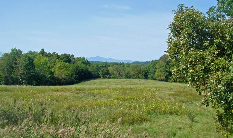
Little Nutten Hook (Stockport and Stuyvesant, Columbia County)
These 296 acres of forest and tidal wetlands increased protected habitats within the Hudson River National Estuarine Research Reserve at Stockport Flats, a true ecological powerhouse. 2010